More workInformation design
Louisville Transit Map
Personal project · Louisville, Kentucky
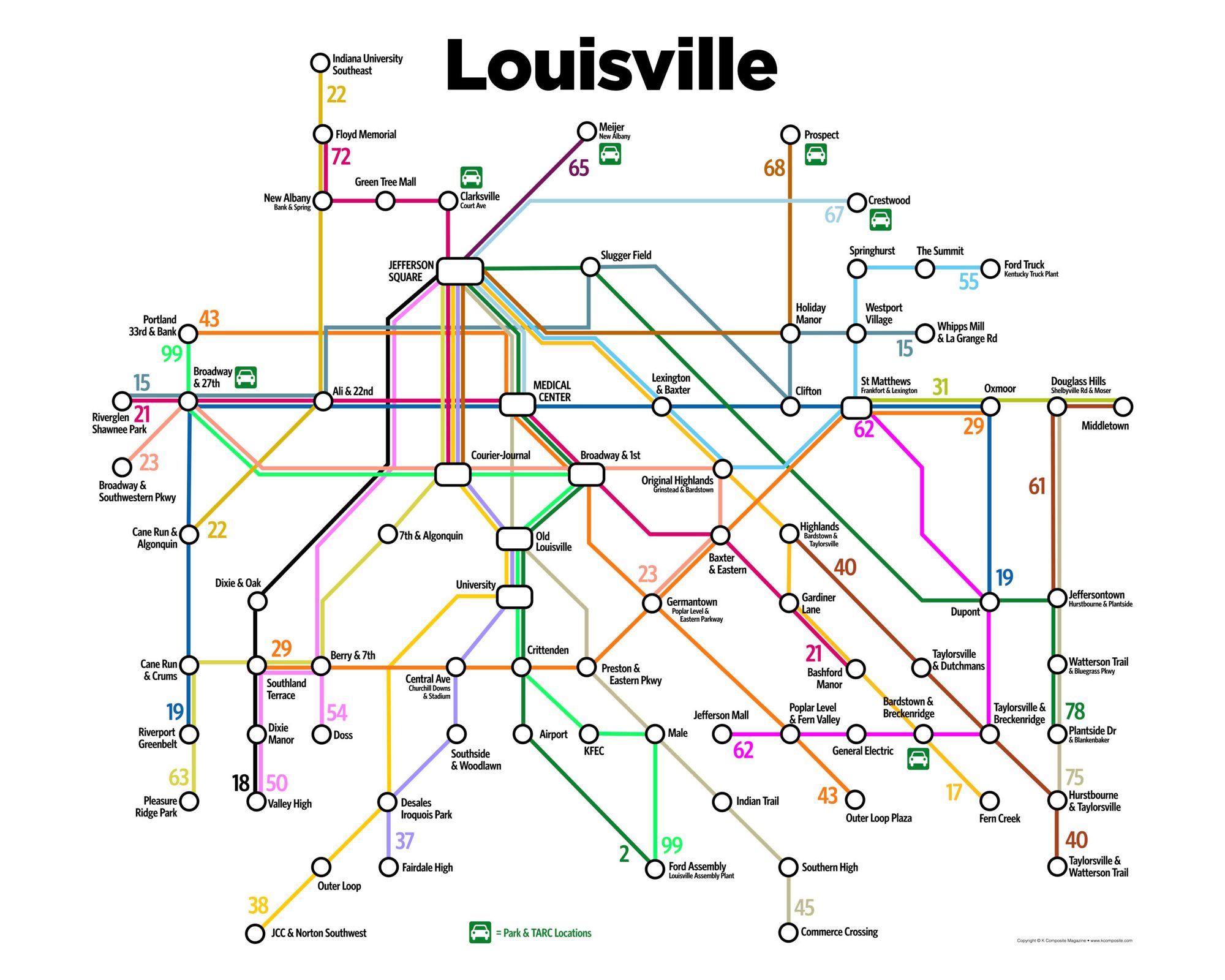
A subway-style map of Louisville’s bus network. Dozens of bus lines criss-cross the city and weave through its neighborhoods, which makes the real system hard to read.
The idea
The bus routes are complex and wind through the city’s neighborhoods. On a geographic map, it’s hard to see where any line actually goes.
What I did
- Simplified the system down to the primary routes and stops.
- Removed exact geography in favor of a subway-style diagram.
- Highlighted landmarks along each route as if they were stations.
Result
The map works as a souvenir as well as a guide. It’s sold on tote bags, postcards, and shower curtains.
Credits
- Designer: Scott Ritcher